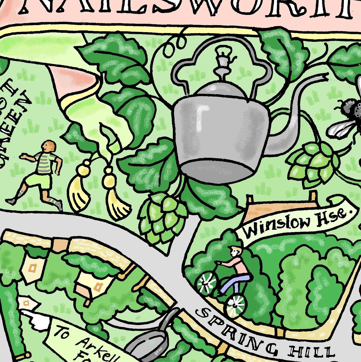
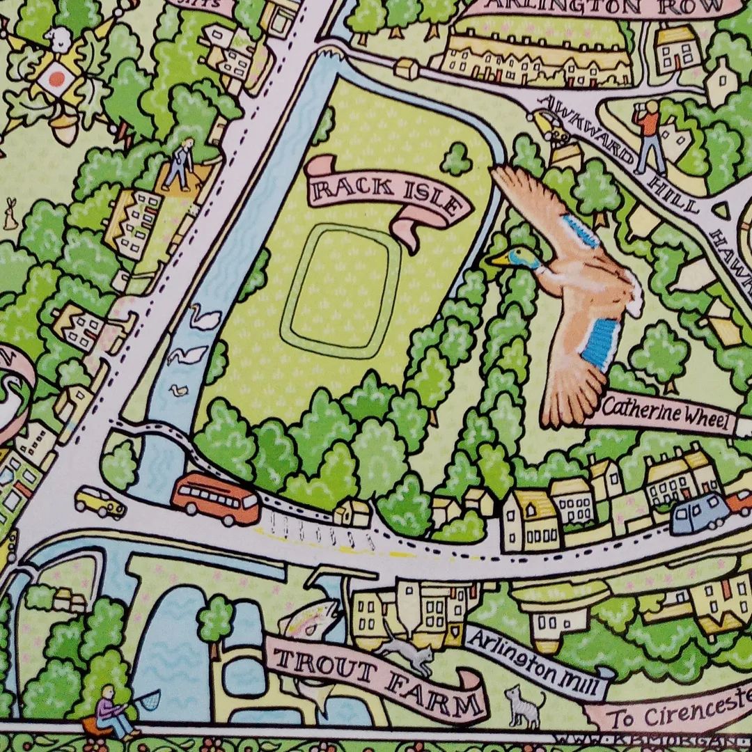

maps · 17. May 2023
Bath - Spa town, famed for it's Georgian architecture and for being a World Heritage Site. Acorns - Stone acorns decorate the parapet of the Circus. There is also a frieze of 528 carvings taken from a 17th century fortune telling book . Uranus -William Herschel (1738-1822), discovered Uranus, from the house where the Museum is now. . Pulteney Bridge - Designed by Robert Adam 1769 Broad Street- Broad looms with cloth sold by monks. Northumberland Place - 'The Coeur de Lion' Baths smallest pub....

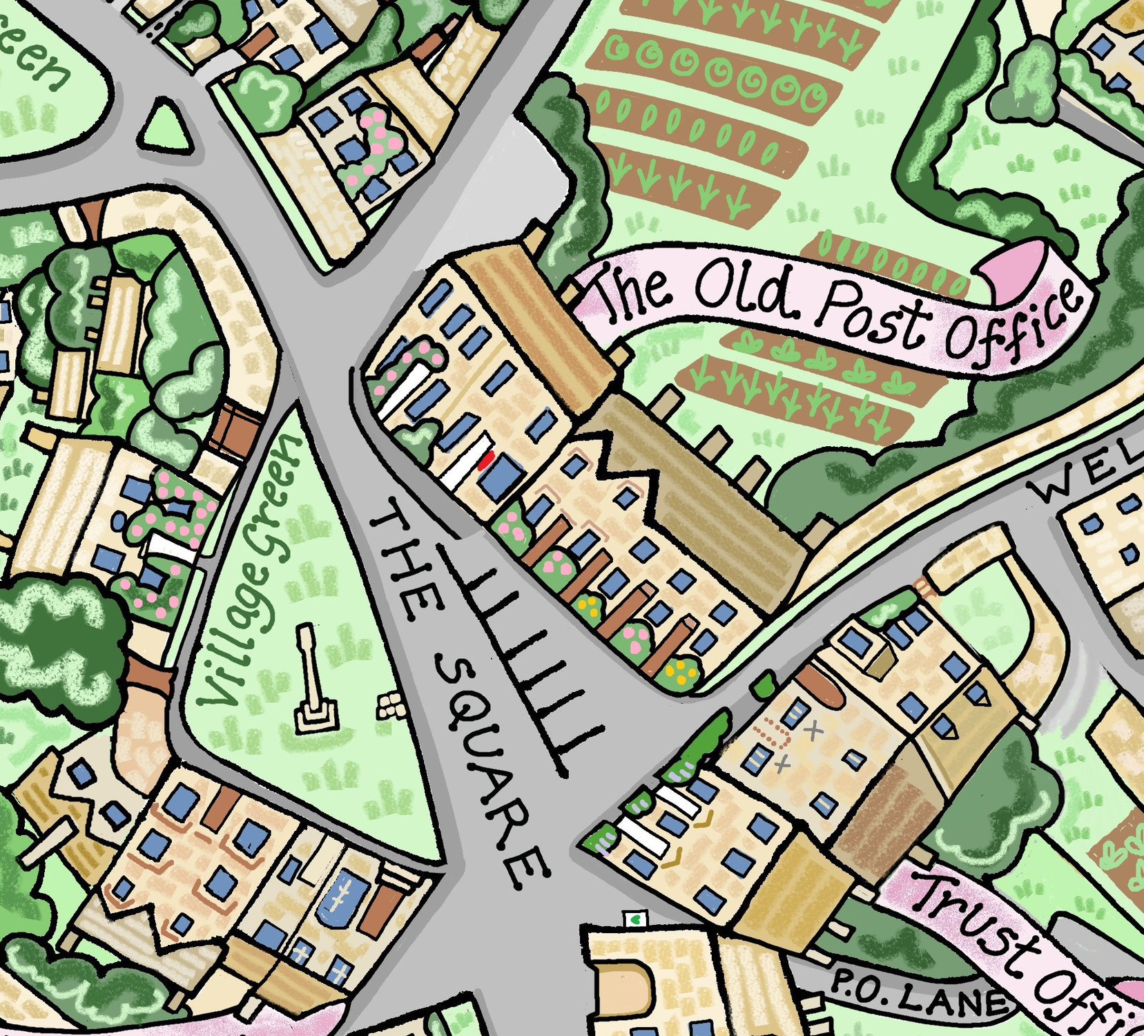
17. May 2023
Information linked to my hand drawn map. Park - Ernest Cook Trust took over the Estate in the 1950.s. Ernest Cook bequeathed his estates to form a UK educational charity, teaching a love and respect of the countryside through using outdoor experiences. Dove -Dovecote in Park street Ox -Oxpens. Used by pairs of oxen for ploughing. Community Centre- Farmor's School, originally Fairford Free School opened in 1738. The Bull - Old coaching inn Retort House - original site of the fairford Gas and...
17. May 2023
Information linked to my hand drawn map ⦁ Royal estate under Edward The Confessor, the seat of his sheriff Aldwyn. ⦁ Late Anglo-Saxon settlement on the site of the present village alongside the bank of the Gyting Broc (the Guiting Brook ), the upper reaches of the River Windrush. ⦁ The name Guiting is believed to derive from the Anglo-Saxon word getinge, meaning rushing, which may refer to the Windrush River, while the name Power comes from medieval lords of the manor called Le Poer. ⦁...