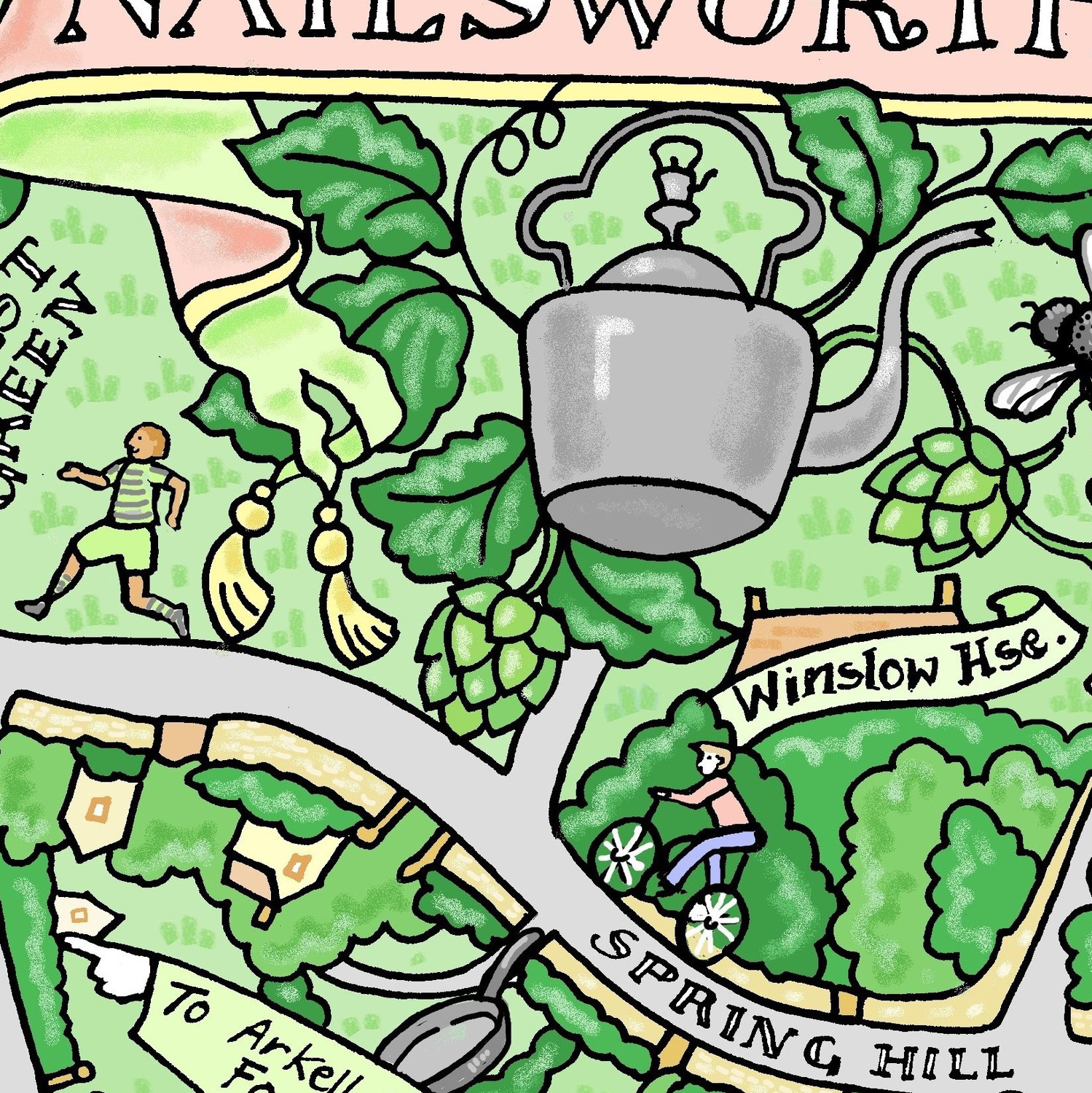


17. May 2023
Information linked to my hand drawn map. Park - Ernest Cook Trust took over the Estate in the 1950.s. Ernest Cook bequeathed his estates to form a UK educational charity, teaching a love and respect of the countryside through using outdoor experiences. Dove -Dovecote in Park street Ox -Oxpens. Used by pairs of oxen for ploughing. Community Centre- Farmor's School, originally Fairford Free School opened in 1738. The Bull - Old coaching inn Retort House - original site of the fairford Gas and...
08. November 2022
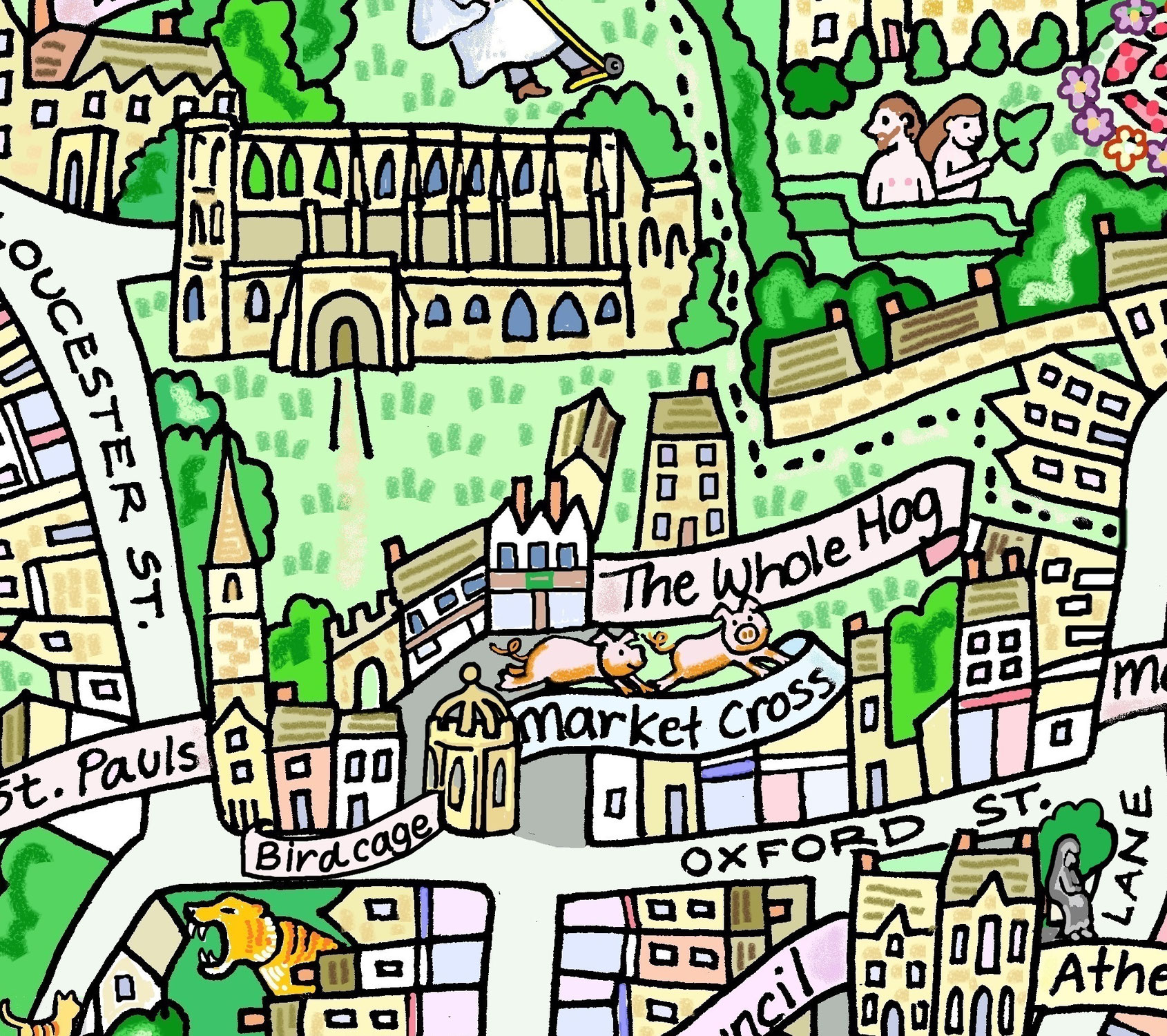
Tomb of King Athelstan- First King of England, died in 939. Book- William of Malmesbury (Latin: Willelmus Malmesbiriensis; c.1095 – c.1143) was an English historian.He spent his whole life in England and his adult life as a monk at Malmesbury Abbey in Wiltshire, England. He wrote Gesta Regum Anglorum, The chronicle of the Kings of England. 12thC Abbey- In AD 603 there was a nunnery on the site. Founded in 675 by Maildubh an Irishman. Scheduled Ancient monument. Daniels Well- footpath by 18...