
17. May 2023
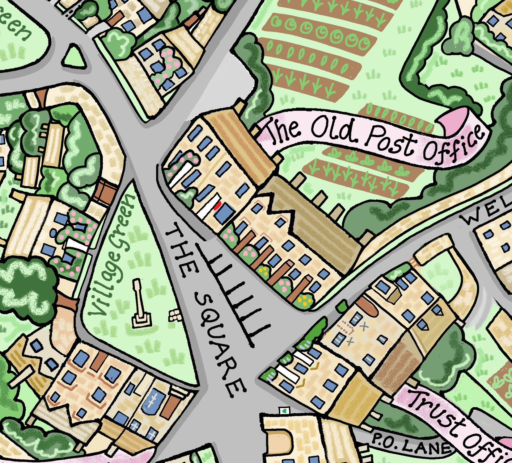
Information linked to my hand drawn map ⦁ Royal estate under Edward The Confessor, the seat of his sheriff Aldwyn. ⦁ Late Anglo-Saxon settlement on the site of the present village alongside the bank of the Gyting Broc (the Guiting Brook ), the upper reaches of the River Windrush. ⦁ The name Guiting is believed to derive from the Anglo-Saxon word getinge, meaning rushing, which may refer to the Windrush River, while the name Power comes from medieval lords of the manor called Le Poer. ⦁...
08. November 2022
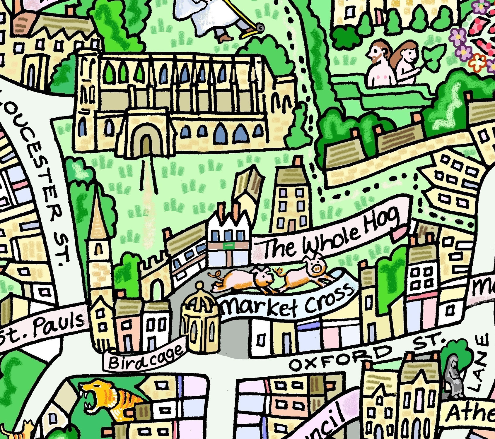
Tomb of King Athelstan- First King of England, died in 939. Book- William of Malmesbury (Latin: Willelmus Malmesbiriensis; c.1095 – c.1143) was an English historian.He spent his whole life in England and his adult life as a monk at Malmesbury Abbey in Wiltshire, England. He wrote Gesta Regum Anglorum, The chronicle of the Kings of England. 12thC Abbey- In AD 603 there was a nunnery on the site. Founded in 675 by Maildubh an Irishman. Scheduled Ancient monument. Daniels Well- footpath by 18...